
“Climbing Taxes… or Moving Lines?”
- Edwin Preble
- Mar 4
- 4 min read

How a Few Crooked Lines on a Map Can Empty Everyone’s Wallet
Let’s start with something every person in New Hampshire understands:
Your property tax bill.
Whether you’re a homeowner, a renter whose landlord just raised the rent again, or someone staring at their assessment wondering how their modest house suddenly looks like it belongs in a real estate magazine… we all have the same reaction when that tax bill shows up:
“Wait… how did it go up again?”
Across towns in New Hampshire, people are told the same explanation every year:
“Your property value increased.”
Sounds reasonable enough, right?
Except for one small problem.
Most of our homes haven’t changed.
The house is the same.
The land is the same.
The road is the same.
But somehow the taxes keep climbing.
So what actually changed?
The answer is something almost nobody thinks about:
The lines.
The Lines That Decide Your Taxes
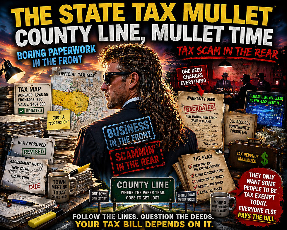
Every property in New Hampshire is taxed based on a tax map. Those maps show the lines that divide every property in town.
Those lines determine:
• how much land you supposedly own
• how your property is valued
• how much tax you pay
In other words, those lines decide what your bill looks like.
Think of it like slicing a pizza.
If the pizza is cut into eight slices, everyone gets one piece.
But now everyone who has a slice is paying more for something that when larger costs less. Everyone in the same backyard.
Well, congratulations.
You’re now paying for more pizza.
That’s essentially how property taxation works.
Here’s Where Ossipee Comes In
Ossipee might not seem like the center of anything.
But historically, something important happened here.
The original land survey system for this region started here.
Those early land divisions — the big 500-acre lots — were laid out in this area and then spread outward across the surrounding region.
In simple terms:
The lines started here.And that means something important.
If the lines here are wrong…
then everything that spread out from them could be wrong too.
Why That Matters for Taxes
Property taxes are based on three things:
Land size
Property boundaries
Assessed value
If the lines are wrong, then the size and value calculations can be wrong too.
And when that happens something strange occurs.
Some properties end up paying more than they should.
Others might pay less.
But the total tax collected still keeps going up.
Which means the town — and the state — still benefit from the confusion.
The Million Dollar Question
So if the property lines might be wrong…
why hasn’t anyone fixed them?
That’s where things get a little awkward.
Because the same people responsible for approving tax increases are also responsible for overseeing the systems built on those maps.
And in Ossipee, one of the local selectmen also happens to hold a seat in the state legislature.
So when property taxes go up statewide…
And questions about land lines start right here in Ossipee…
You would think that might be an issue worth looking into.
Yet the tax hikes keep coming.
Imagine This Scenario
Let’s say you discover that your electric meter is wrong. It’s charging you double the electricity you actually use.
You bring it to the utility company. Instead of fixing the meter they say:
“Don’t worry — we’re just going to raise the rate for everyone instead.”
That would sound ridiculous.
But with property taxes, something similar can happen when the underlying land records aren’t accurate.
The Good News
The good news is that fixing the problem actually starts with something simple.
Fix the starting point!!
Because when the original land lines are corrected where they began, something interesting happens.
It creates a domino effect. When the first line is put back where it belongs, the lines connected to it begin to fall back into place too.
One correction leads to another.
And slowly the map begins to match the land again.
And when those lines are finally placed back where they belong on the ground, something else becomes clear.
It becomes much easier to see:
• when the lines changed
• where they changed
• and sometimes even who was responsible for changing them
Because land has a funny way of remembering where it was supposed to be.
Why This Matters to Everyone
This isn’t just about old maps or survey lines.
It affects:
homeowners trying to keep up with rising tax bills
renters paying higher rent because taxes get passed down
young families trying to stay in town
retirees living on fixed incomes
Whether people realize it or not…
Everyone pays for those lines.
A Little Dry Humor
At the rate property taxes are rising, we may soon need to start measuring land the same way the grocery store measures steak:
“Sorry… that’ll be $37 per square foot today.”
And if the lines keep moving?
Well… we might all end up paying taxes on land we didn’t even know we owned.
The Bottom Line
Before taxes keep going up year after year, there’s a simple question worth asking:
Are the lines actually right?
Because if the system started in Ossipee…
And if the lines here turn out to be wrong…
Then fixing that starting point wouldn’t just fix one property.
It would start a domino effect that corrects the lines from here out.
And when the map finally matches the land again, the history of how those lines moved — and who moved them — becomes much harder to ignore.
Sometimes the biggest problems don’t start with tax rates.
Sometimes they start with a line drawn in the wrong place.
By NH corruption uncovered

Comments